Filter by Topics
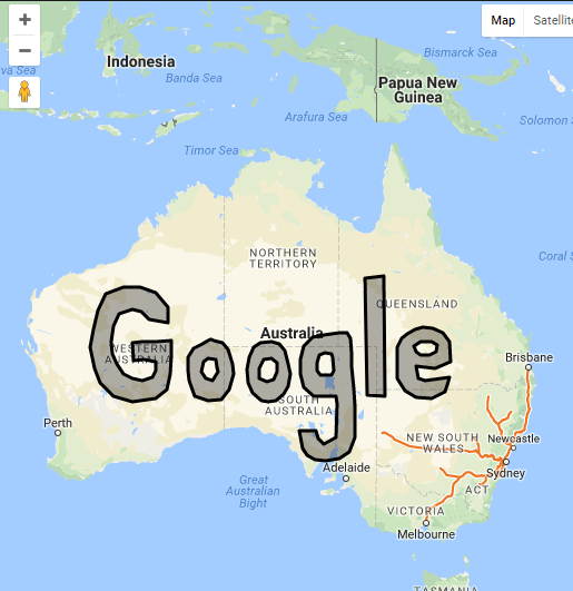
To show geographical data overlaid on a map, you can use a GEO JSON URL. This will allow you to add points of interest, lines, and other shapes directly to the map. The data used in this setting is typically stored in the GeoJSON format. You can find it in our documentation about the GeoJSON data layer. Make sure to check out the detailed information related to this geo-data layer, as well as its URL or Uniform Resource Locator!
Insert GEO JSON URL
Step 1 Go to Add or Edit Map and scroll down to ‘GEOJSON’ section below of the page.
Step 2 Paste your GEO Json url.

Step 3 Click on Save Map and open it in browser.
you’ll see the output at per attached screenshot.


